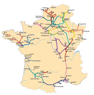
Fluviacarte - Waterways guide map

Fluviacarte map-guides help you prepare, optimise and secure river cruises.
- General map with route, route times and navigation dimensions
- Essential practical information (lock transit, mooring, regulations, signage,...)
- Useful practical information (services and prices at ports and stopovers, boatyards, fuel stations, bakeries, food shops, restaurants, campsites,...)
- Tourist information (sites, heritage and worthwhile addresses in towns and villages on the way)
- Clear mapping at a scale of 1/50,000 for canals, and 1/25,000 or 1/15,000 for rivers. The details of services and navigation recommendations are shown directly in the margin
- The drawing of the waterways is slightly enlarged to facilitate reading and positioning the navigation structures
- For river crossings, the photos or diagrams of bridges are placed opposite the map, specifying the location of the arches for the passage of barges
- Lastly ? and this is the main characteristic of Fluviacarte guides ? the drawing of the waterway always follows the direction of the boat, which avoids having to turn the guide in all directions during navigation.
- Text in French, English and German
|
Discover our guides to navigation and tourism :
Discover our guides to navigation and tourism : Information that is essential to navigation (times of locks, moorings, dimensions, ports, halts, services ...), and information on towns and cities crossed (shops, restaurants, tourist sites ...).
Text in French, English and German.


|